|
||||||||||||
|
|
||||||||||||
Revised:
05/10/07 |
||||||||||||
|
There have been visits since 05/30/06 |
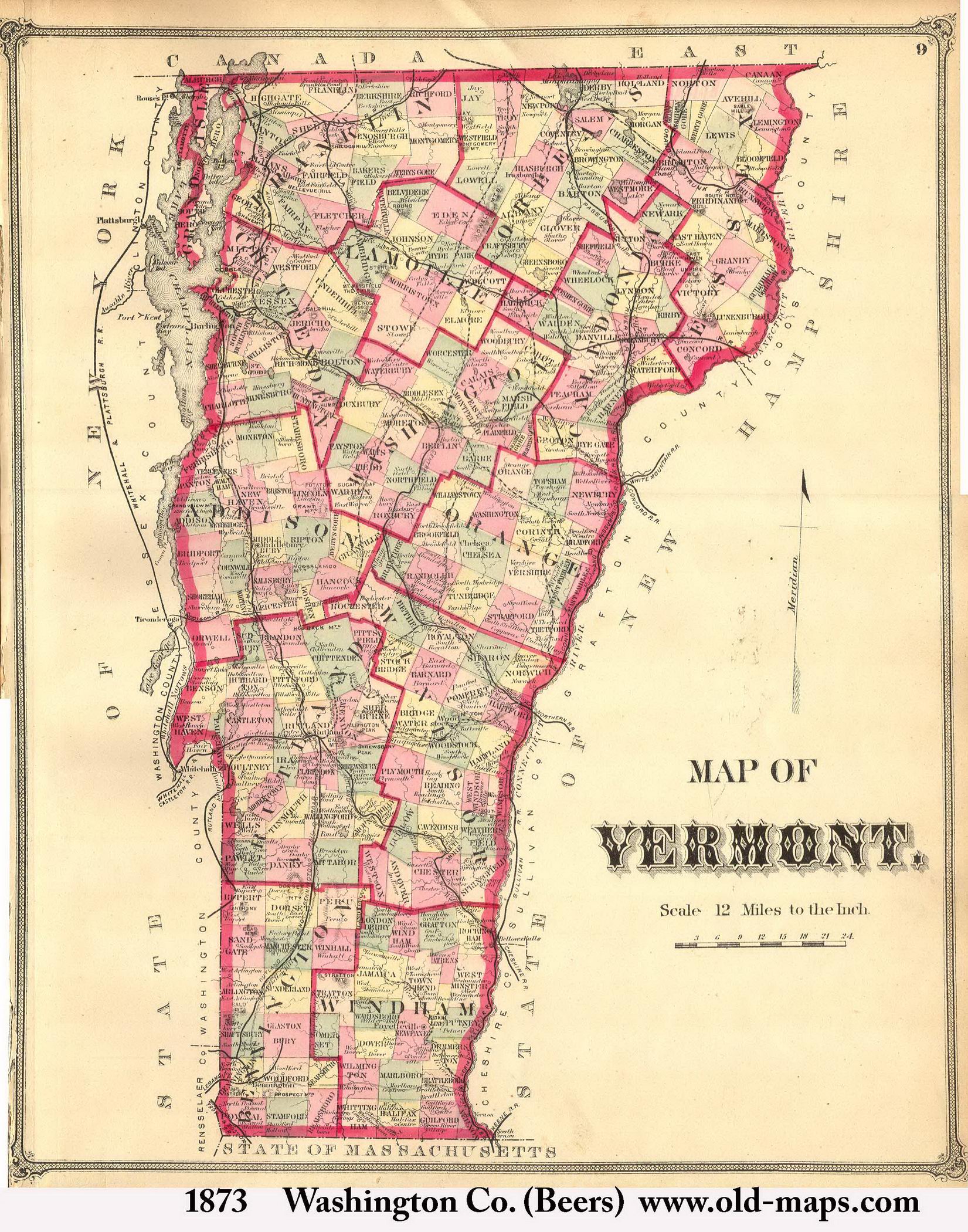
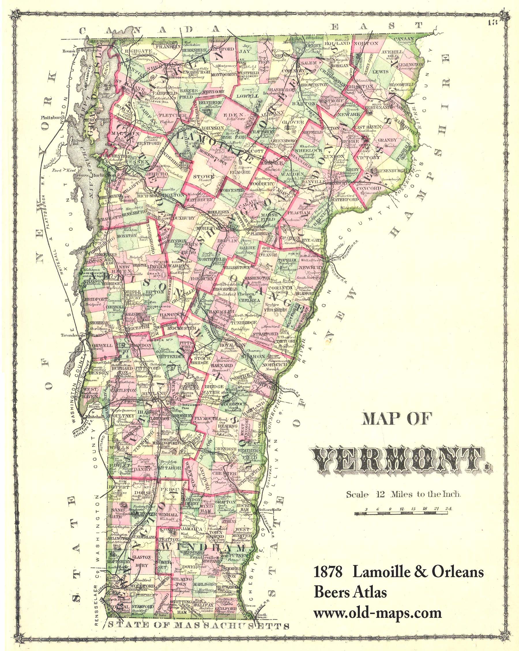
This site is published by Old Maps, a business which reproduces and sells historical maps of Vermont and other states. Most of the content on this site is free. | |||||||||||
|
|
||||||||||||
|
|
||||||||||||
Revised:
05/10/07 |
||||||||||||
|
There have been visits since 05/30/06 |
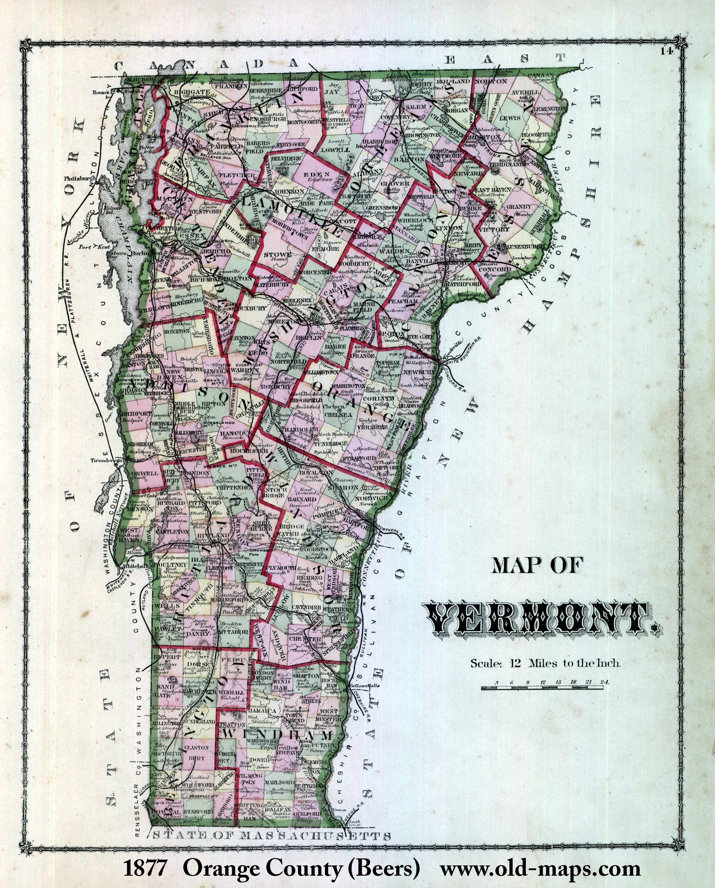
This site is published by Old Maps, a business which reproduces and sells historical maps of Vermont and other states. Most of the content on this site is free. | |||||||||||
Revised:
05/10/07
Copyright © 2006 [Old Maps]. All rights reserved.